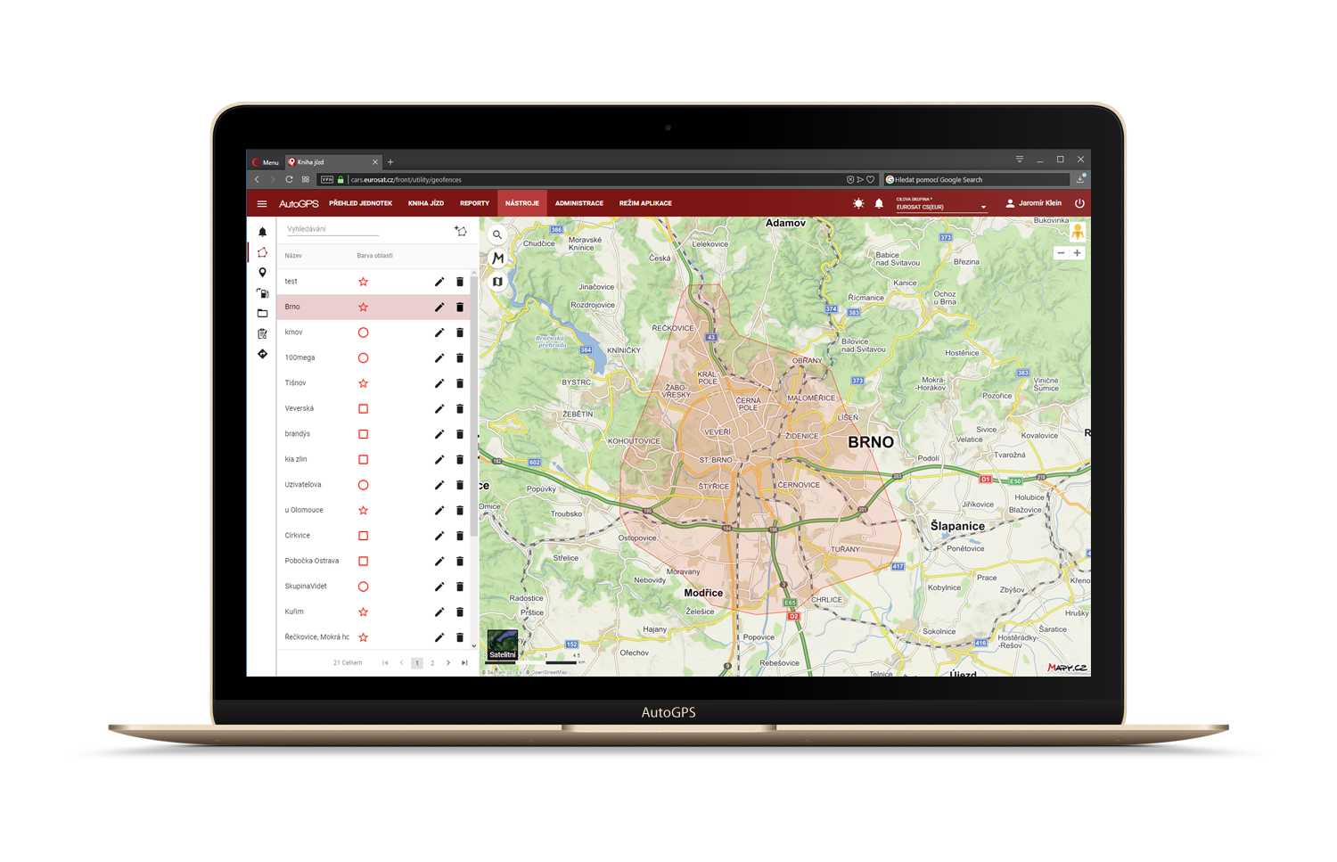
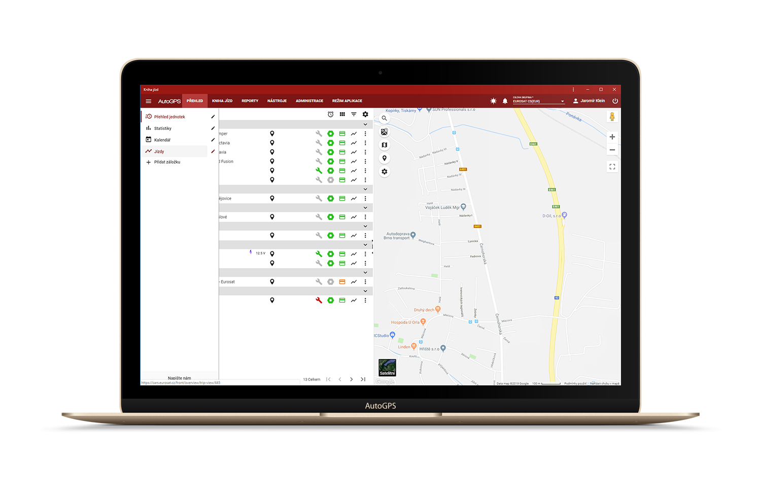
Points and areas
In the logbook, the user can simply create delimited geographical areas of any shape – in this way, a virtual fence is in fact created.
Then you can link alerts to these areas to be informed if the monitored device passes through the defined geographical area. This is convenient, for instance, for monitoring whether the vehicle has left the company premises or reached or passed to the delimited area.
Geographical points, fully user-defined as well, on the other hand, are used to name any point in the map. Then the user-defined points are listed in the logbook and maps instead of the machine-generated address.